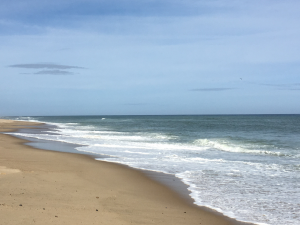
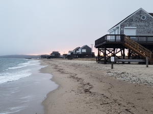
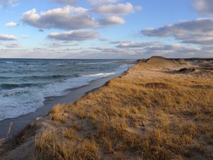
The Cape's coastal and marine resources define the region's character, culture and economy. Good stewardship of these fragile resources is essential to the continued vitality of our environment. Planning staff prepares regional and local plans to protect coastal and marine resources and to address potential development impacts to these important resources.
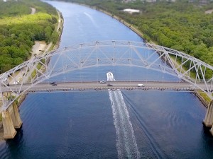
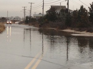
To address the impacts from climate change on the Cape’s coastline, Planning staff assists communities in the preparation of multi-hazard mitigation plans and emergency preparedness strategies for the residents and visitors to our region.
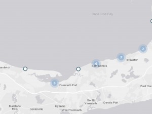
Resilient Cape Cod: The Cape Cod Commission and partners were awarded a NOAA coastal resiliency grant to explore and advance coastal resiliency planning and awareness on Cape Cod.
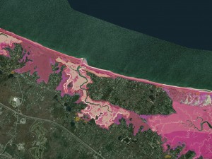
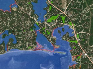
Municipal Vulnerability Preparedness planning: Commission staff is assisting five communities with MVP planning to identify climate-related threats, vulnerabilities, and priority actions.
Multi-hazard Mitigation planning: Commission staff has assisted most Cape communities with the preparation of FEMA-approved MHM plans.
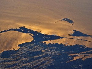
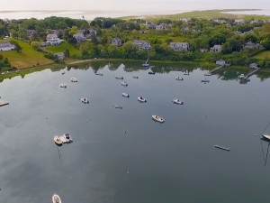
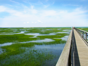
Cape Cod Ocean Management Plan: Commission staff coordinated the technical and planning support for the region-wide Cape Cod Ocean Management Plan which examines resources, activities, and uses in Cape Cod’s ocean waters.
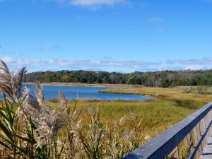
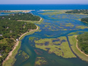
Cape Cod Atlas of Tidally Restricted Salt Marshes: an inventory of culvert locations and conditions which restrict tidal flow to salt marshes.
Related Work
Projects

Initiatives
Committee

Plans