Overview
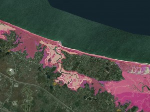
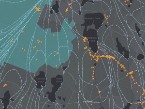
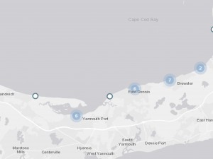
Our dynamic ocean is rising: whether in the near term from storm surges or the long-term effects of sea level rise. This web mapping application is intended as a visualization tool to illustrate the vulnerability to climate change and hazards related to significant meteorological events. Shown are potential Sea Level Rise increments, Sea, Lake and Overland Surges from Hurricanes (SLOSH) as well as the Federal Emergency Management Agency (FEMA) Flood Insurance Rate Map (FIRM). Also shown are the town identified critical facilities for the entire Cape and the effects of sea level rise on the road network.
Cape Cod Sea Level Rise Viewer
Contact
-
Anne Reynoldsareynolds@capecodcommission.org
-
Philip "Jay" Detjenspdetjens@capecodcommission.org