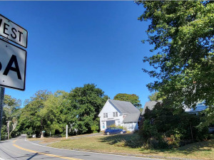
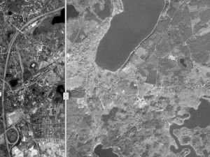
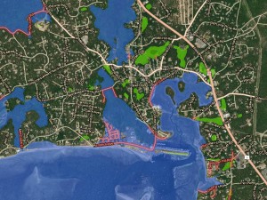
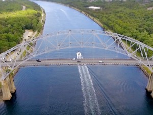
With data and mapping more prevalent in our everyday lives, the Cape Cod Commission’s GIS and GeoDesign department provides a variety of services to the agency and the fifteen towns we serve. Leveraging this technological boon, the Cape Cod Commission creates data, analysis and design to help us better understand geographically related systems on Cape Cod.
DATA
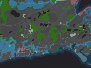
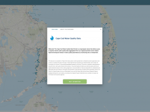
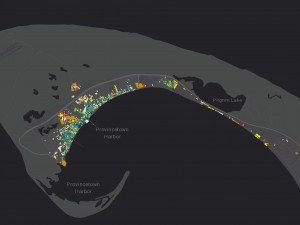
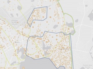
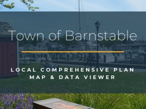
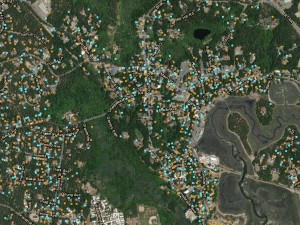
As a service center for data, applications, and digital maps, we offer hundreds of theme-based layers that can be used by town GIS departments and their consultants, nonprofit agencies, and businesses.
ANALYSIS
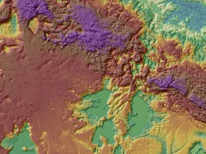
The department provides thorough and thoughtful examination of data to compliment and assist the missions of the Commission, the County, and its’ citizens.
DESIGN
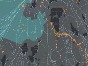
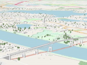
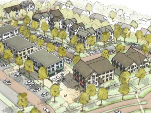
The department integrates timely geographic data and technical analysis to support project goals. The Commission’s staff of analysts, developers, and design specialists apply geodesign principles to their analyses, whether developing a web-application, 3D scenario, or a paper map.
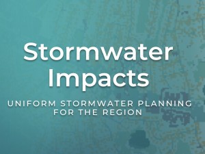
Related Work


Staff
-
Anne ReynoldsGIS Directorareynolds@capecodcommission.org
-
Philip "Jay" DetjensApplications Managerpdetjens@capecodcommission.org
-
Gary PrahmGIS Analystgprahm@capecodcommission.org
-
Deb RicottaGIS Analystdeb.ricotta@capecodcommission.org
