Overview
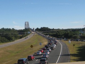
Cape Cod Commission staff work on a number of transportation safety initiatives at both the regional and local levels.
Safe Streets and Roads for All Grant: Vision Zero
The Cape Cod Commission received a $240,000 federal grant funding to support the Cape Cod Vision Zero Action Plan through the Safe Streets and Roads for All (SS4A) Grant Program, an initiative designed to improve roads and address traffic fatalities nationwide. Visit the project website to learn more.
NEW! 2025 Top Crash Locations Report
As new data becomes available, Cape Cod Commission compiles a list of the top crash locations in the region. The information provided in these report serves as a resource to make Cape Cod safer for motorists, pedestrians, and bicyclists. Cape Cod Commission staff will work with local and state partners to use this report to prioritize locations for future Road Safety Audits. This list will also serve as a resource for transportation safety professionals looking to make strategic investments to improve safety in the region.
2025 Barnstable County High Crash Locations Report (2021-2023 Data)
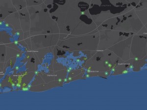
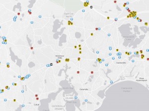
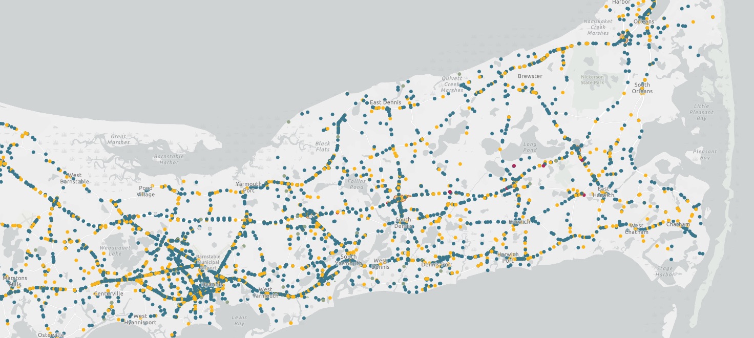
Cape Cod Crash Dashboard
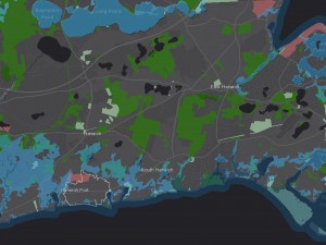
To learn more about high crash locations in the region explore the crash dashboard featured on this page. This tool displays the most recently available crash data in an interactive way that allows users to explore the data and gain insight about crash trends in the region.
Prior Dashboards: 2022 Dashboard (2018-2020 data) | 2019 Dashboard (2012-2016 data)
 Statewide high crash locations are also identified on the MassDOT Hiqhway Safety Improvement Program webpage. Additional statewide safety analysis can also be found in the MassDOT Crash Portal including the Fatal Crash Information Dashboard.
NEW! Cape Cod Interchange Intersection Crash Analysis Report (2024)
The Cape Cod Commission examined crashes at the local intersections with the interchange ramps in Barnstable County. The Commission analyzed 32 intersections across 15 interchange systems on Routes 6 and 28, excluding Bourne, which is being studied as part of the MassDOT Canal Area Bridge Replacement Project. Using crash data from over 1,100 reports, CCC staff identified high-risk sites based on crash totals, rates, and severity. The findings aim to prioritize Roadway Safety Audits (RSAs) and safety enhancements at the highest ranked locations.
2024 Cape Cod Interchange Intersection Crash Analysis Report
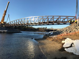
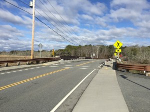
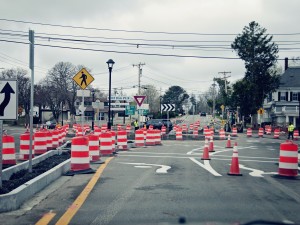
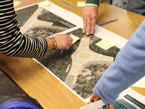
Road Safety Audits and Other Safety Analyses
Once high crash locations are identified, Cape Cod Commission staff work to identify and implement solutions improve safety. Recently performed safety analyses are featured on this page.
- Before and After Crash Analysis Report (2022)
- Route 6 Safety Analysis Report (2022)
- Safety Appendix of the Cape Cod 2024 Regional Transportation Plan (includes recent safety data and a list of safety studies)
- Route 6 Safety Study: Ramp and Shoulder Design (2019)
- Route 6 Stormwater and Vegetation Management Plan and Maps (2016)
- Route 6 Hydroplaning Crash Analysis and Alternatives Development (2014)
List of Cape Cod Road Safety Audits since 2011
*denotes study was not an RSA, but rather a safety study. Safety studies offer similar recommendations as RSAs do.
Contact
-
Steven Tupperstupper@capecodcommission.org
-
David Nolandavid.nolan@capecodcommission.org
-
Colleen Medeiroscolleen.medeiros@capecodcommission.org