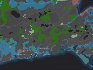
OverviewThe Traffic Counts Viewer, shown above, shows the locations of transportation count stations for the Cape Cod Commission and MassDOT within Barnstable County. The Cape Cod Commission also maintains a Non-Motorist Counts Data Viewer which summarizes count data collected along the region's rail trails and paths.
Traffic Counting Reports
- Cape Cod 2022 Traffic Counting Report
- Cape Cod 2021 Traffic Counting Report
- Cape Cod 2020 Traffic Counting Report - COVID Related Travel Impacts in Barnstable County
- Cape Cod 2019 Traffic Counting Report
Permanent Count Stations:
The Cape Cod Commission maintains two permanent count stations at the following two intersections which record daily traffic volumes within the traffic signal system.
- Barnstable - Route 28/Lumbert Mill Road Intersection
- Harwich - Route 124/Queen Anne Road Intersection
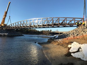
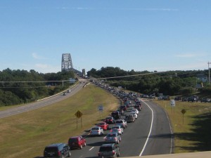
MassDOT also maintains permanent count stations on the Bourne and Sagamore Bridges. Traffic volumes from all four of these permanent count locations are summarized on DataCapeCod.org.
Additionally, MassDOT maintains other permanent count stations within the region as noted below.
Route 3 north of Bourne town line
Route 6 east of Route 149
Rt 28 west of Old Post Road (Barnstable)
Route 28 east of Higgins Crowell Rd (Yarmouth)
Contact
-
David Nolandavid.nolan@capecodcommission.org
-
Steven Tupperstupper@capecodcommission.org
-
Colleen Medeiroscolleen.medeiros@capecodcommission.org
-
Evan Costaevan.costa@capecodcommission.org