Towards a safer, connected Route 6A in Yarmouthport
A new Cape Cod Commission report for Route 6A in Yarmouthport presents opportunities to make the corridor more pedestrian friendly and better define the Village Center.
The request from the town grew out of a June 2016 public meeting held by the Town of Yarmouth, which revisited earlier work by both the Town and Commission.
In 2013, Town of Yarmouth municipal and public safety officials worked with a local civic group, Safety Over Speed Yarmouth Port Neighborhood Task Force, in its efforts to reduce speeds and improve safety along Route 6A. As part of these efforts, the Cape Cod Commission assisted the Town by preparing a Roadway Safety Audit report detailing recommendations to improve safety along the corridor.
By summer 2015, the Town coordinated implementation of several of these improvements such as installing chevron signage and advisory speed limit signs at the Summer Street curve, eliminating the passing zone in the village area by installing a double yellow centerline, installing new crosswalk signage, adding a flashing speed sign, and miscellaneous efforts such as pruning of vegetation, ensuring street lights were in working order, and increasing police presence in the area.
For this phase of the Commission’s work, Yarmouth asked the Commission’s help to:
- Assist the Town in conducting a public workshop
- Gather and review relevant information and data
- Identify design features for improving Route 6A
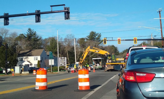
The study area of this project is Route 6A from Willow Street on the west to Union Street on the east. Route 6A runs from Bourne to the Eastham/Orleans rotary along Cape Cod Bay, and is owned and maintained by the Massachusetts Department of Transportation (MassDOT). In this portion of Route 6A, the right of way is estimated to be approximately 40 feet wide.
The resulting report groups recommendations into the following categories: pedestrian and bicycle accommodations, parking, signage, and a miscellaneous catch-all for speed management, historic context, stormwater, buried utilities, vegetation maintenance, and decorative lighting and streetscape amenities.
At the Commission-facilitated workshop, instant polling devices were used to gain levels of support for various concepts for the corridor. In addition, new ideas brought to the meeting by stakeholders added to the understanding and consensus for the study’s recommendations.
Formal design plans are not part of these recommendation, as further consideration of potential improvements should include a more detailed assessment of existing conditions. It also recognizes that Route 6A is currently a state-owned roadway, requiring many of the recommended improvements to be undertaken by, or in consultation with, MassDOT.
A range of implementation options are suggested, including the town performing work with MassDOT permission, requesting MassDOT improvements and seeking local control over this segment of Route 6A, similar to Barnstable Village, which is maintained by the Town of Barnstable.
Undergrounding utilities in the Village Center section of the corridor was brought up at both public workshops. Burying utilities is a costly and complicated process, involving not only the Town and the various utility companies, but also the businesses and home owners in the area whose properties would need to be connected to the underground utilities. Ultimately, the study sets his discussion aside for further investigation, based on the town’s level of interest. Decorative street lighting and amenities was also recommended for further study. The report notes that this could work with parking, signage and street marking improvements to better identify the Village Center and slow vehicles through this part of the corridor.
The final report is available on the Commission’s website, at http://www.capecodcommission.org/resources/transportation/Route6A/Yarmouth6A_Final_Repo
KEY RECOMMENDATIONS
- Better define sidewalks and reduce long curb cuts,
- Add a sidewalk on south side of Route 6A, Summer Street to Yarmouth Port Post Office
- Add crosswalks, Vesper Lane, Briarpatch Pediatrics/Minden Lane and Village Store Area
- Update crosswalk treatments to piano key treatment
- Improve access to the Common from the crosswalk
- Bring existing and future sidewalks and crosswalks into ADA and AAB compliance
- Guide bikers to Cape Cod Rail Trail
Evaluate options and impacts of creating formalized parking spaces on the north and south sides of Route 6A, Village Center - Consider connecting existing Village Center parking lots
- Conduct a sign inventory
Develop a concept for uniform “parking in rear” signs for the businesses in the Village Center - Consider development and installation of gateway signs for the corridor
- Place one additional flashing speed sign in an appropriate location
Related Posts