Overview
Since 15 towns completed the Low Lying Roads assessment with the Cape Cod Commission and the Woods Hole Group, it made sense to combine the data into a Cape Wide dataset that can be easily navigated for regional planning efforts.
This tool mimics the look of the individual town viewers, with the ability to see the proposed schematics for the priority road segments. Please note this is still an active project with updates ongoing.
Resources
Contact
-
Deb Ricottadeb.ricotta@capecodcommission.org
-
Anne Reynoldsareynolds@capecodcommission.org
-
Heather McElroyhmcelroy@capecodcommission.org
Maps & Apps
Low Lying Roads Project
Low Lying Roads: Barnstable
Low Lying Roads: Bourne
Low Lying Roads: Brewster
Low Lying Roads: Chatham
Low Lying Roads: Dennis
Low Lying Roads: Eastham
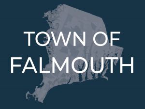
Low Lying Roads: Falmouth
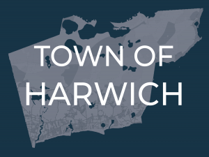
Low Lying Roads: Harwich
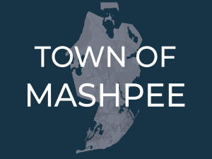
Low Lying Roads: Mashpee
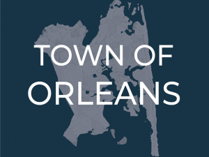
Low Lying Roads: Orleans
Low Lying Roads: Provincetown
Low Lying Roads: Sandwich
Low Lying Roads: Truro
Low Lying Roads: Wellfleet
Low Lying Roads: Yarmouth
