- Overview
- Materials
- Map Viewer
- Priorities
- Solutions
Overview
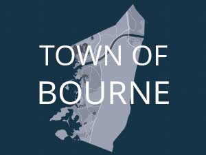
The Cape Cod Commission is working with all 15 Cape towns, including the Town of Bourne, to examine vulnerabilities in the roadway network and identify solutions. With funding support from the U.S. Economic Development Administration (EDA) and the Massachusetts Municipal Vulnerability Preparedness (MVP) program, the Commission has contracted with the Woods Hole Group (WHG) to conduct a vulnerability assessment of roadway segments, bridges, and culverts due to flooding from the combined effects of sea level rise and storm surge.
WHG will employ the state-of-the-art Massachusetts Coast Flood Risk Model (MC FRM) to identify vulnerable road segments under different sea level rise scenarios and time scales. One output from this work is a projection of the probability and extent of flooding at the present, 2030, 2050, and 2070.
Presentation: Bourne Low Lying Roads Presentation
Meeting (Mar 2023)
Presentation: Bourne Low Lying Roads Presentation
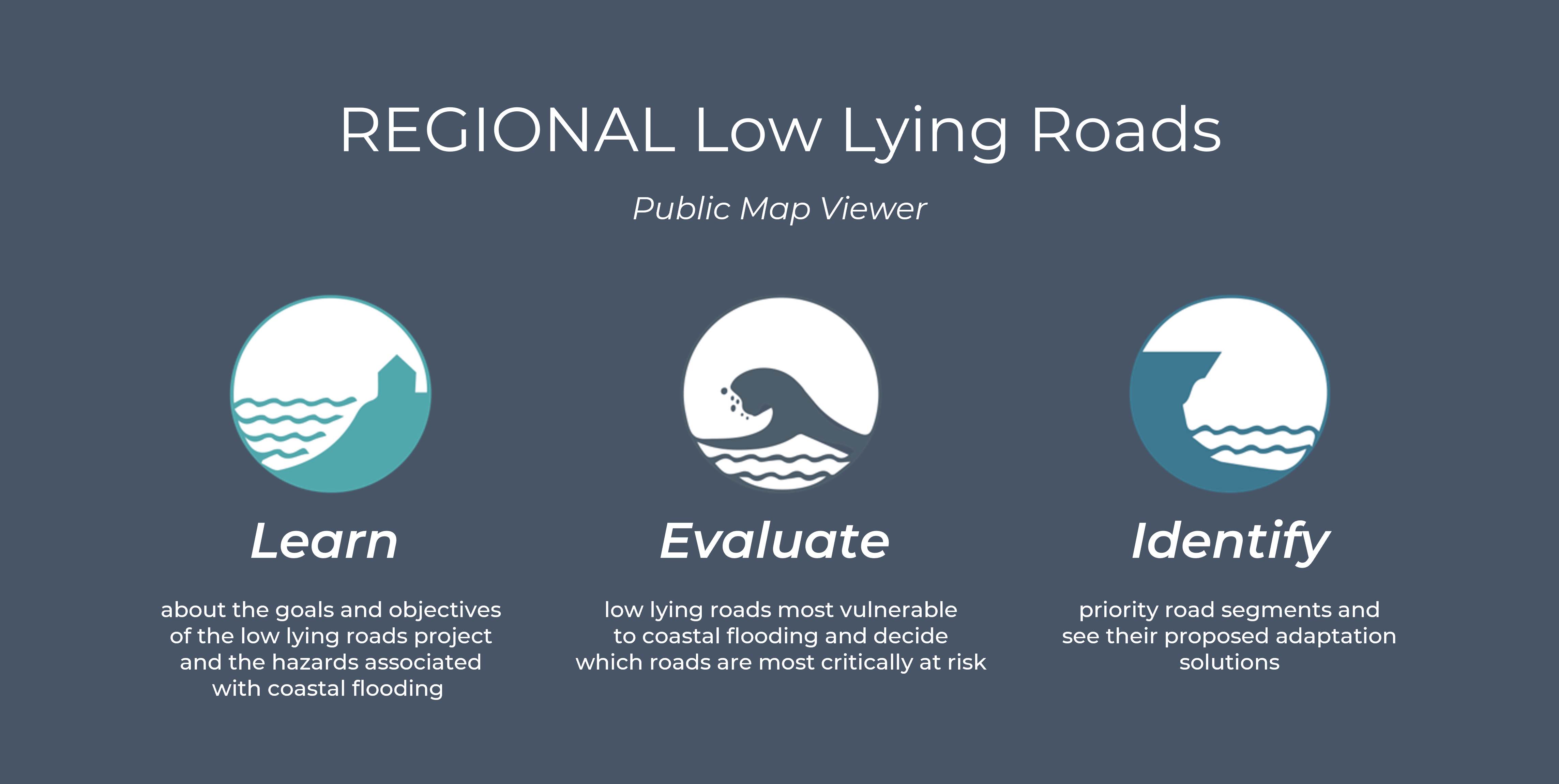
The Low Lying Roads Data Viewer is an interactive tool which allows the user to view the data outputs of the low lying roads analysis in a visual map format.
To use the Data Viewer, click on the link above and navigate around the map using the instructions included in the left panel.
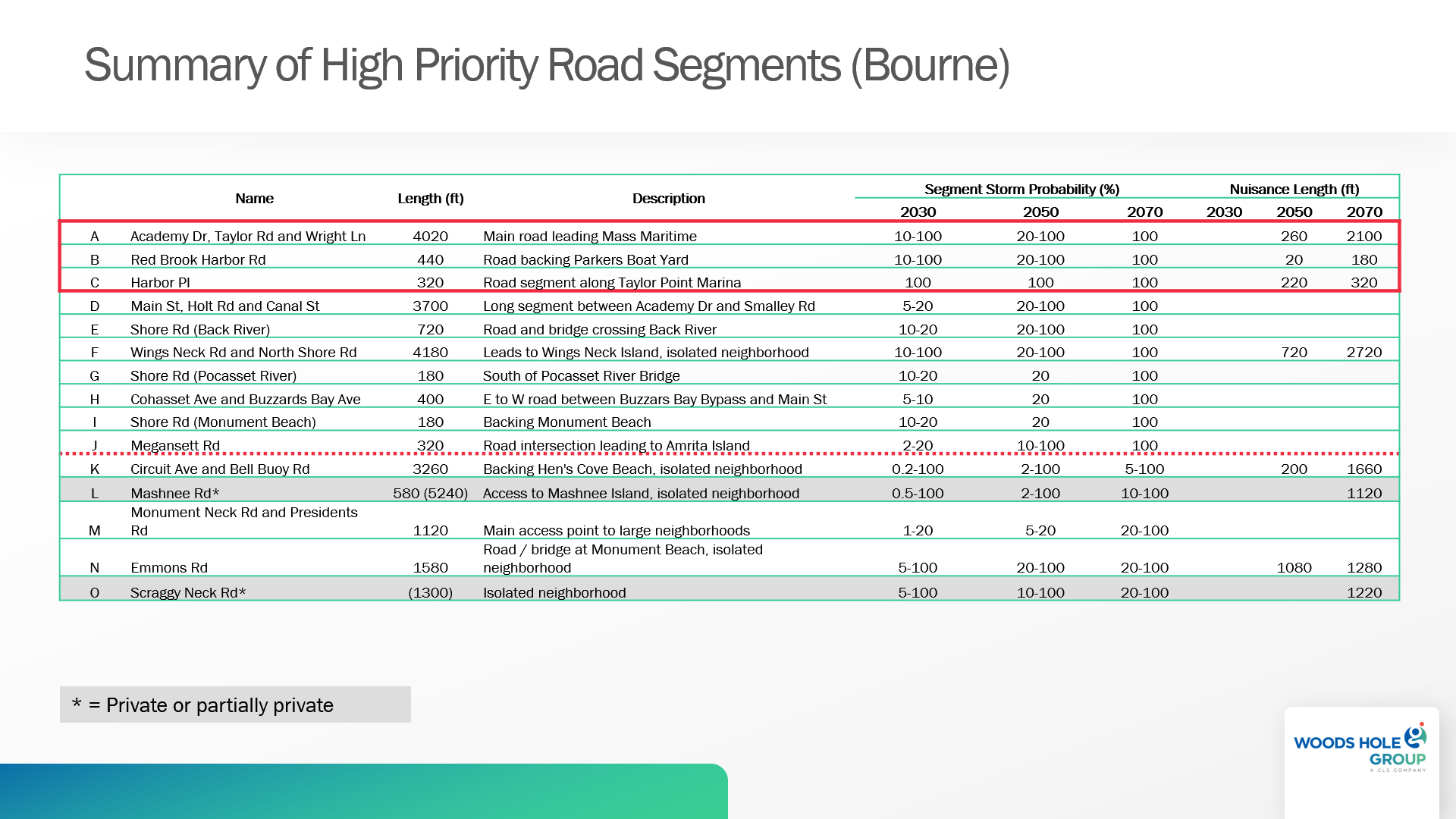
High Priority Road Segments
The table below presents a first cut of priority road segments identified through a GIS analysis examining future flood projections together with an assessment of roadway importance and function (roadway “criticality”). “Segment Storm Probability” shows the percent chance that road segment will be flooded during the different future time horizons. “Nuisance Length” indicates, where data is shown, what length of road may be flooded under future sunny-day high tides. The data is the result of an analysis performed by the Woods Hole Group using the Massachusetts Coast Flood Risk Model.
Adaptation Strategies Analysis
Following the workshop last spring, town staff identified two priority road segments to carry forward into the design process for this project. Adaptation solutions for each of the prioritized road segments include analysis of four alternative strategies: gray infrastructure, green infrastructure, a hybrid approach, and managed retreat (abandonment or relocation).
Conceptual Design Options
The conceptual design plans for each prioritized road segment and their associated adaptation solutions are available in these documents: