Cape Cod Commission receives grant to enhance water quality monitoring with satellite imagery
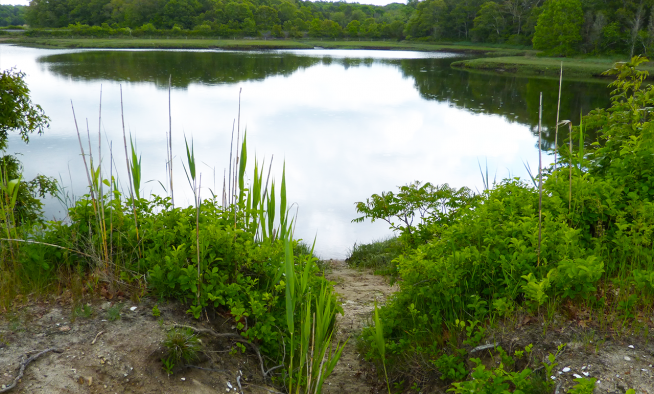
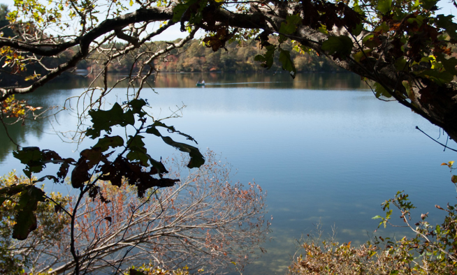
The Cape Cod Commission will lead an effort to expand satellite-derived water quality data collection and analysis and enhance existing pond monitoring efforts, funded by a $298,527 Southeast New England Program (SNEP) Priority Research Grant.
Working with project partners at the University of Minnesota, University of Rhode Island (URI) Watershed Watch, and the Association to Preserve Cape Cod, the Commission will collect and analyze field data to correlate observations from satellite imagery with measured water quality data.
Despite the importance of ponds in coastal watershed health, there are significant data gaps in current freshwater monitoring programs in the SNEP region due to reliance on staff and volunteers traveling in the field to collect water quality measurements and samples for laboratory analysis.
Expanding field-based programs to fill data gaps would require a significant and ongoing financial investment. Data from existing satellite imagery offers the potential to fill those gaps by developing models for consistent estimates of water quality parameters for all lakes in the region regularly.
“We are excited to lead this important effort to expand satellite-derived water quality data collection to bridge critical data gaps and provide valuable insights into the health of ponds and lakes,” said Kristy Senatori, Cape Cod Commission Executive Director. “This project represents a significant step forward in our commitment to preserving and enhancing the region’s freshwater resources.”
The University of Minnesota has partnered with the Cape Cod Commission to create a model for estimating coastal lake and pond water quality and clarity in the SNEP region using satellite imagery. The Association to Preserve Cape Cod (APCC) has partnered with the Cape Cod Commission to manage collection of field data on Cape Cod that will be used to develop the model and provide guidance on analysis and data products. URI Watershed Watch is sharing data from their ongoing monitoring of over 60 lakes and ponds throughout Rhode Island and Southeastern Massachusetts to improve model development.
The three-year project began in October 2023 and will conclude in 2026. Project outcomes include a dataset and model of water quality in coastal lakes and ponds within the SNEP region that can be used to inform management of freshwater ecosystems in and around the coastal SNEP region.
Related Posts