Transportation planning and studies for the year ahead
The Unified Planning Work Program (UPWP) is the Cape Cod Metropolitan Planning Organization’s (MPO) annual plan that outlines the transportation studies, data collection, technical assistance, and other planning activities Cape Cod Commission staff expect to undertake during the upcoming federal fiscal year. The FFY 2027 UPWP covers October 2026 through September 2027 and highlights the major transportation planning activities for that period.
Typical UPWP activities include corridor and safety studies, bicycle and pedestrian planning, traffic and transportation data collection, congestion analysis, and coastal resiliency work. The program is funded primarily by state and federal transportation planning funds, usually totaling about $1 million annually for Cape Cod.
The UPWP details the planning work and studies the MPO and Commission will undertake over a single year. It is one of three key plans that guide transportation planning in the region. The Transportation Improvement Program (TIP), updated annually, lists capital projects receiving state and federal funding over five years. The Regional Transportation Plan (RTP), updated every five years, outlines the region's long-range transportation vision and priorities.
The Cape Cod MPO develops and approves the UPWP each year, incorporating input and recommendations from the Cape Cod Joint Transportation Committee (CCJTC) and the public.
The FFY 2027 UPWP program year begins on October 1, 2026. Projects for the upcoming year will focus on safety, multimodal connectivity, and data-driven decision-making across Cape Cod’s 15 towns.
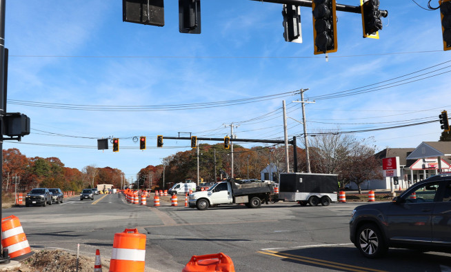
A central effort in FFY 2027 is a Cape-wide intersection planning study, evaluating five to six high-crash or high-need locations identified in the Vision Zero Action Plan and Barnstable County crash reports. Staff will analyze current conditions, gather public input, and develop conceptual designs to improve safety and multimodal access.
The UPWP also initiates a detailed safety and crash analysis of the two-lane section of Route 6 from Dennis to Orleans. The study will examine crash patterns, roadway conditions, emergency response concerns, and GIS-based mapping to inform future highway safety improvements.
Work continues on Vision 88, the regional initiative to create an 88-mile shared-use pathway from Woods Hole to Provincetown. This year’s work includes expanded data collection, new public engagement tools, an interactive bicycle infrastructure map, and a dedicated Vision 88 website to track progress.
The MPO will advance key Vision Zero actions, including safety campaigns, crash trend monitoring, and roadway safety audits to support towns towards the region’s Vision Zero goal of reducing serious injury and fatal crashes on our roadways.
Transit planning receives a boost this year, with updates to the Cape Cod Regional Transit Authority Ridership Dashboard, exploration of additional transit modes, and an update to the region’s Coordinated Public Transit–Human Services Transportation Plan.
New research tasks round out the program, including a review of municipal roadwork notification practices and a technical memo documenting bridge height and weight restrictions to support communication and planning as various roadway and sewer installation projects across the region progress.
Finally, FFY 2027 maintains Cape Cod’s strong foundation in data-driven planning through its annual program of traffic counts, bicycle and pedestrian counts, and pavement surveys. These datasets support nearly every major transportation decision in the region.
Learn more about the UPWP by visiting www.capecodcommission.org/upwp
Related Posts