Looking down from above: Exploring remote sensing to better understand our ponds and lakes
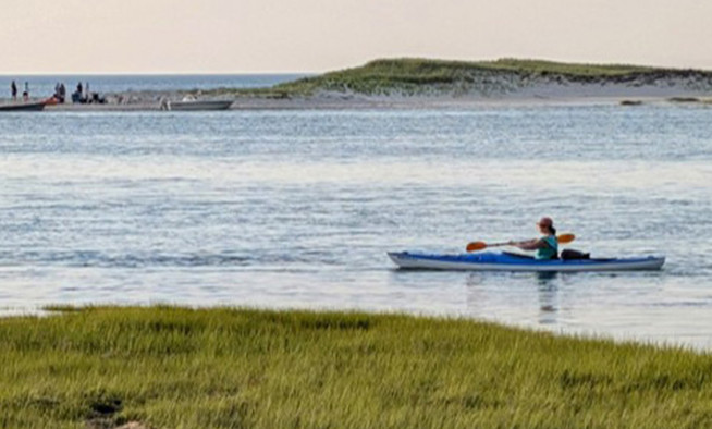
Monitoring of the Cape’s plentiful ponds and lakes is traditionally done by people: town staff, scientists, and volunteers collect samples for testing, typically in the summer and early fall months. While this work provides an idea of the health of our ponds, more data is needed to fully understand the depth of issues impacting the region’s freshwater resources.
As we work to build a regional pond monitoring program, we are exploring new ways to collect data.
For nearly fifty years, satellites have been orbiting the earth collecting imagery to monitor and study the health of our planet. What if we could use those images to learn more about the health of our ponds and lakes?
Lessons from the land of 10,000 lakes
Minnesota uses satellite data to glean insights into its more than 10,000 ponds and lakes. Since 2002, the University of Minnesota’s Minnesota LakeBrowser has provided satellite-derived water clarity data for Minnesota lakes. Recent updates to the program include an automated image processing system that processes satellite data from Landsat 8 and Sentinel 2, providing daily median clarity, chlorophyll, and colored dissolved organic matter data.
Cape Cod Commission staff are investigating the methods used in Minnesota in hopes that we can adapt the approach for Cape Cod.
What’s so great about satellite data?
Remote sensing provides a powerful approach to data collection, using innovative technology that allows us to gather data that would be difficult or impossible to obtain through traditional methods.
Satellites like Landsat and Sentinel have highly sophisticated equipment to gather enormous amounts of data worldwide. Data from these satellites are available to the public, free of charge. Yet, it requires considerable processing to be analyzed and converted into information that is accessible.
Staff is working to find a method to gather and analyze this data. Once in hand, it would allow for an accurate comparison of ponds across the region without concerns over fluctuations in environmental conditions across days, providing a more consistent and precise analysis. Satellite data could provide information about currently unmonitored ponds and fill in gaps from currently unmonitored times of the year, providing a consistent baseline for understanding seasonal and year-over-year trends. As satellites have been collecting data for many years, we can look back on a significant historical trove of data and begin to analyze trends over time.
Investigating the use of remote sensing to understand pond and lake health is a component of the Cape Cod Freshwater Initiative, a science-based, information-driven planning process to engage stakeholders and enable action to protect and restore Cape Cod’s freshwater resources. To learn more about the Freshwater Initiative, please visit www.capecodcommission.org/freshwater.
Related Posts