Inventory Data to Support Future Transportation Improvements
Data collection is a fundamental part of the Cape Cod Commission’s work, providing the foundation for informed planning and decision-making across the region. Accurate, up-to-date data allows Commission staff to assess current conditions, identify needs, and support projects that enhance safety, accessibility, and efficiency for all modes of travel on Cape Cod.
Recently, Commission transportation staff completed two regional inventory projects designed to inform future transportation improvements: an inventory of municipally owned bicycle racks and an inventory of overhead flashing beacons. Both efforts were funded through the 2025 Unified Planning Work Program (UPWP), which supports transportation planning initiatives throughout Barnstable County.
The bicycle rack inventory represents the latest step in the Commission’s ongoing work to document and improve bicycle infrastructure across the Cape. Staff recorded the location, design, and condition of more than 500 publicly owned bicycle racks, including those on municipal properties and along regional bike trails. The inventory builds on previous data collection efforts, such as the rail trail crossing and side path inventories, helping to identify gaps and opportunities in the region’s bicycle network.
Data collected through this project will be integrated into a new interactive web application that showcases bicycle infrastructure and amenities across Cape Cod. The online viewer will allow users to explore publicly owned bike rack locations through a map-based interface and even submit information on missing amenities by uploading a photo and location. Submissions will be reviewed and verified before being added to the inventory, ensuring the dataset remains accurate and current over time.
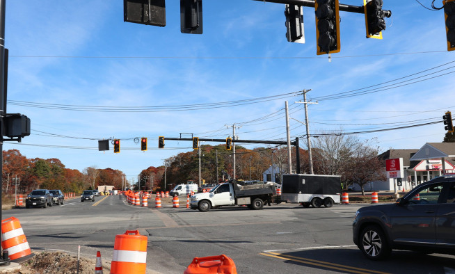
Commission transportation staff are also finalizing an inventory of overhead intersection flashing beacon signals across the region. This effort documented the location and condition of existing overhead signal beacons and will support future roadway safety planning. The data will be incorporated into a GIS-based map layer for use in upcoming transportation studies. In some locations, the findings may prompt further analysis to determine whether existing signal beacons should be replaced with full traffic signals based on warrant counts, roadway conditions, and crash history.
Both inventories provide comprehensive, high-quality data and support the Cape Cod Commission’s mission to plan for safe, efficient, and resilient transportation systems. By maintaining detailed regional inventories, the Commission continues to provide communities with the tools and information needed to guide investment, improve safety, and enhance mobility for all who live, work, and visit Cape Cod.
Related Posts