Improving high groundwater level estimation on Cape Cod
Online viewer offers up-to-date and accessible data
Although the Cape Cod Aquifer is considered a sole-source aquifer, it is made up of six distinct groundwater lenses. The different aquifer lenses, combined with the natural variability of precipitation on Cape Cod lead to changes in groundwater levels that can differ widely from one part of the Cape to another.
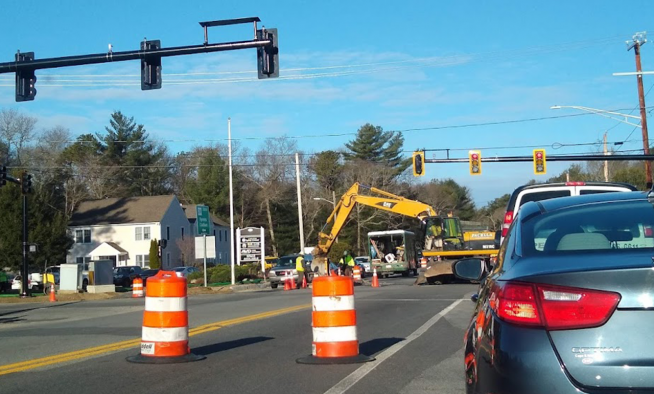
Groundwater levels can change from month to month and year to year in response to precipitation, evaporation, transpiration, and other factors. As part of a partnership with the United States Geological Survey (USGS), Cape Cod Commission staff collect monthly measurements at more than thirty wells across Cape Cod. These measurements help understand water level response throughout the aquifer lenses. The Cape Cod Commission publishes this data every month as a service to town officials, engineers, and other interested parties. Records for select wells extend to the 1950s and can be viewed at the USGS NWIS Mapper Site.
High groundwater levels are a major cause of septic system failures, wet basements, and other problems. Consequently, engineers, builders, and health officials must design on-site septic systems under Title 5, stormwater management systems, and other structures to maintain proper separation from groundwater even under the wettest conditions. In the past, this was addressed by some public health agents, requiring building contractors to wait for the time of year when groundwater was at its seasonal high to estimate high groundwater levels for septic system permit applications.
To address the need to estimate high groundwater levels throughout the year, and account for yearly variation, the Cape Cod Commission developed Technical Bulletin 92-001, "Estimation of High Groundwater Levels for Construction and Land Use Planning," in 1992. The Technical Bulletin provides a method to use current water level measurements at a project site along with monthly measurements from a network of nine index wells to estimate the seasonal high groundwater level at any time and nearly any location on Cape Cod.
Since its initial drafting in 1992, the Technical Bulletin has periodically required updating. For example, a 2006 update incorporated new water level measurements collected from 1992 to 2006. Over time, damage, access issues, and diminished performance have also changed the index well network. Additionally, measurements taken from replacement wells require a manual conversion by Cape Cod Commission staff for use with the Technical Bulletin.
As a result, Cape Cod Commission staff made several updates to the monthly water level reporting beginning in January 2022. The new High Groundwater Levels Data Viewer is the most up-to-date and accessible data resource for users to determine seasonal high groundwater levels across the Cape. The Viewer incorporates measurements for all current index wells and corresponding adjustments for compatibility with measurements taken at the replacement wells. Users can search for or navigate to and click on a project location on the map, and a popup will display the applicable index well, current water level, and required groundwater adjustment.
The Commission’s Estimating High Groundwater webpage provides directions on how to determine seasonal high groundwater levels using the provided data in the Viewer. Current and previous monthly index well groundwater levels (dating back to January 2022) are also accessible at the Monthly Groundwater Levels page.
Related Posts