Expanding Freshwater Data Collection
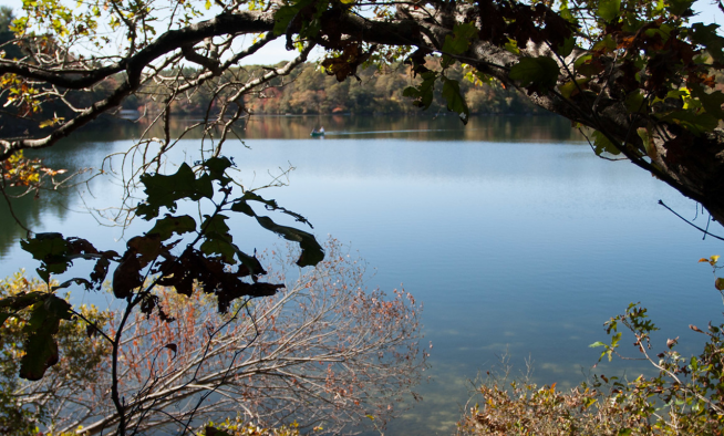
Cape Cod’s freshwater ponds are defining features of the region’s landscape, dynamic systems that support wildlife, recreation, and community character. With nearly 900 ponds and lakes covering close to 11,000 acres, they form an extensive yet fragile network of freshwater resources. Understanding and protecting these systems depends on accurate, consistent scientific data.
Across the region, efforts to collect and compile pond data are expanding. One of the most significant data gaps in fully assessing pond health is bathymetry.
Bathymetry is the measurement of the depth and shape of a water body’s bottom, essentially, an underwater topographic map. Bathymetric data describe how deep a pond is at various locations, the contours of the pond floor, and changes in depth that influence how water moves and mixes. From these measurements, scientists can calculate average depth and total volume, both of which are critical for understanding water quality dynamics, thermal structure, habitat conditions, and the potential effectiveness of restoration strategies.
Consistent bathymetric data collection will improve understanding of nutrient circulation, identify deep or shallow zones that influence temperature and oxygen levels, and estimate how long water remains in a system. Filling this data gap will strengthen the region's ability to evaluate pond health and design targeted restoration efforts.
To address this need, the Cape Cod Commission is initiating a project to survey bathymetry in approximately 30 ponds across the region. The selected consultant will develop detailed bathymetric maps, provide maximum and average pond depths with GPS coordinates, and generate bathymetric contour maps for each pond. Potential additional products include thermal imaging to identify potential groundwater inputs and sediment composition mapping.
When complete, the Commission will integrate this new data into tools such as the Cape Cod Water Quality Database, making it accessible to towns, researchers, and the public to support pond management and restoration planning. The project is expected to be complete in summer 2026. This new body of information will deepen our understanding of pond systems across Cape Cod and strengthen efforts to protect our region's important freshwater resources.
Related Posts